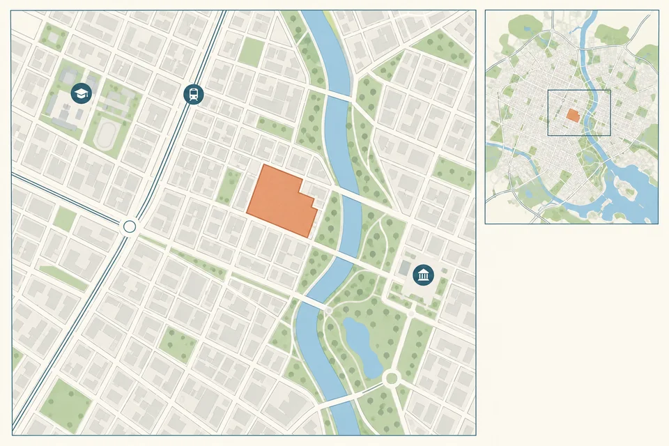
项目区位与周边关系图
依据提供的地图和事实梳理项目与周边功能联系。 图为AI生成概念示例。模板免费,生成按所选线路计费。
Prompt
Create regional and neighborhood context diagrams from the supplied base map. Preserve roads, waterways and known landmarks, emphasizing the central study boundary and its links to services, green space and transport. Default scene: a fictional urban grid, narrow river, park and terracotta project outline, with a few simple school and transport icons. Warm white, grey lines and muted blue-green. Align the project position and orientation in both views. Do not invent real place names, stops, distances or five-minute travel-time circles. Landscape 3:2, complete boundaries, no garbled text or watermark.