城乡规划方案分尺度图版
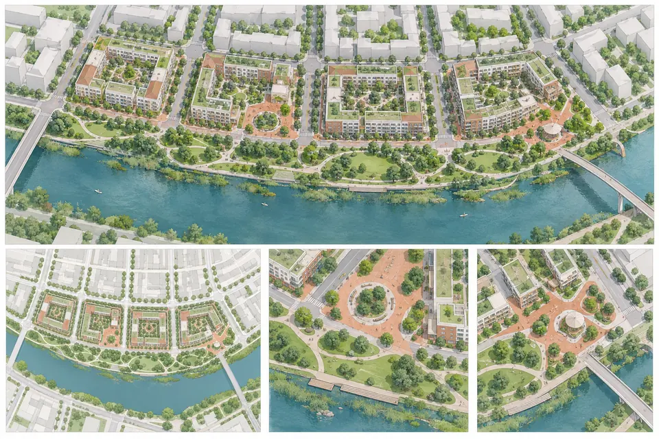
按区域、街区和节点三个尺度组织规划方案资料。 图为AI生成概念示例。模板免费,生成按所选线路计费。
Prompt
Create a planning presentation board moving from overall structure to blocks and nodes. Use a main aerial view, corresponding small site plan and two enlarged nodes. Default scene: four waterfront blocks beside a linear park, blue-green open space, terracotta public nodes, warm white background and generous margins. Follow uploaded roads, boundaries and functions; keep locations, legends and colors consistent across all three scales. Clear hierarchy, no unrelated imagery, invented statutory zoning, population, development intensity or approval data. Landscape 3:2, no garbled text.