灰绿纸感 · 城市底图转绘
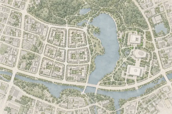
把卫星图或线稿整理成灰绿水彩总平底图,保留街道、水体和建筑边界,便于后续叠加分析。
Prompt
Redraw an urban base map as one landscape 3:2 sage-toned paper plan, strictly orthographic top-down with unchanged map orientation and no facades or perspective. Dense but restrained building footprints, continuous clear street voids and larger blue-green spaces. Roofs ivory to light warm grey with low-contrast fine grey-brown edges. Main roads form broad pale-ivory bands and local lanes are finer. Parks and woodland use washed grey olive and sage, with only two or three layers of small canopy dots rather than fluffy 3D trees. Water is mist blue-grey with soft yet geometrically clear shorelines. Roads, bridges and shorelines must remain continuous. Architectural watercolour map aesthetic, warm white paper grain, very pale shadows, context gently fading at outer edges without erasing the study site. Preserve identifiable buildings, roads, bridges, water and vegetation boundaries in any supplied satellite image or plan. Occluded areas remain simplified grey shapes: invent no addresses, functions, contours, roads or river changes. Without a reference invent an elongated crescent lake slightly right of center, eight small courtyard blocks west of it, three larger civic buildings east, a woodland belt north and a curved southern main street connecting two short bridges. No pins, arrows, red study boundaries, headings, legends, labels, coordinates or watermark; deliver a clean reusable base map.